


Distance: | Time: | Difficulty (1-10): | Total ascent: |
% sealed: | % dirt: | % singletrack: | % hike-a-bike: |
Feb 2024 update: Wombeyan Caves kiosk, caves and camping are closed, however the road in is passable.
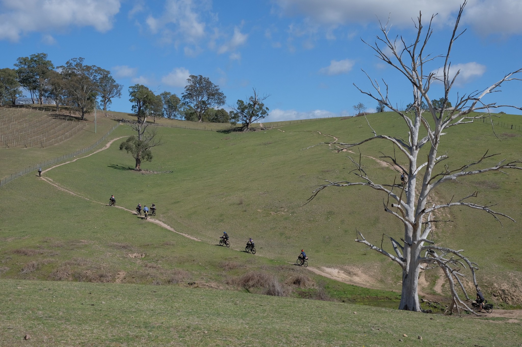
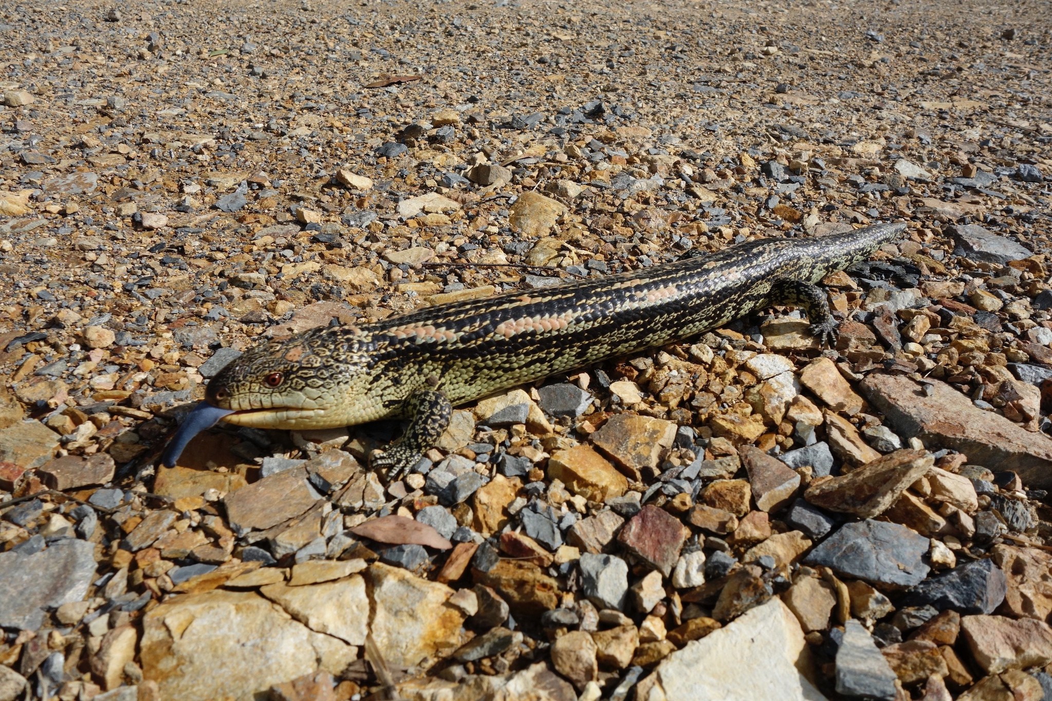
This is our favourite three-day ride around Sydney. It takes in some spectacular bush, passing through many of the Blue Mountains national parks, plus it has lots of huge hills! Seriously, the hills go on for what seems like forever (and they can be seriously steep). Take only as much equipment as you need, and some easy gears...
Route notes
Day 1
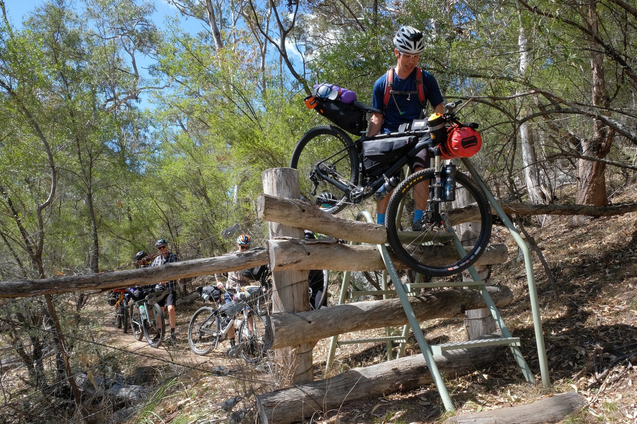
This ride begins with a long descent on the tarmac into the Megalong Valley, through rainforest vegetation and out into paddocks. Turning onto the Six Foot Track, you'll find a dirt road that crosses fences (you'll need to carry your bike over stiles). The road soon turns into a walking track, and you'll be walking your bike in many sections, up and down stairs as the trail tends down towards the river.
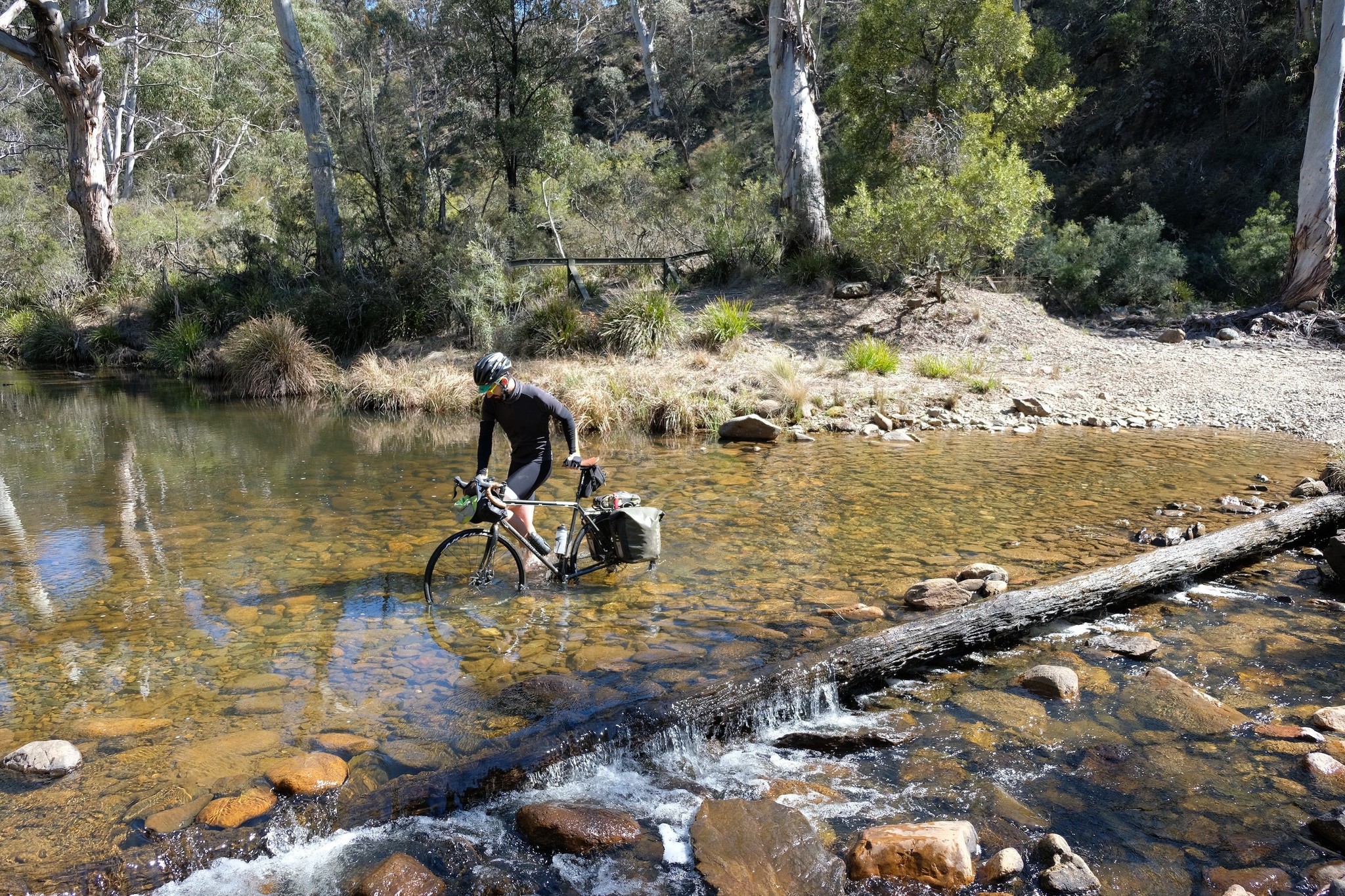
At the base of the valley you'll carry your bike across the Coxs River (normally about thigh-high) and then begin the long, at times very steep, dirt road climb on the other side. There is some respite about halfway up when you roll into a valley and past the Alum Creek Campground, and the hill gets less steep not long after that.
At the top of the hill you'll find the Black Range Campground, and the end of the dirt road. A few kilometres of road riding brings you to the long and winding descent to Jenolan Caves.
The climb out of Jenolan Caves may be on tarmac, but it's definitely not easy - you'll be in your easiest gear the entire time. Although there are several switchbacks, they still only reduce the incline to a barely rideable 15%.
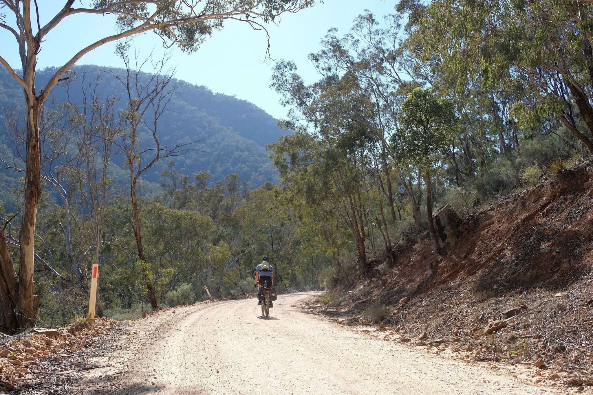
Soon after you crest the hill, you turn onto Kanangra Walls Road, a smooth dirt road that undulates through the forest until you reach the Boyd River Campground.
Day 2
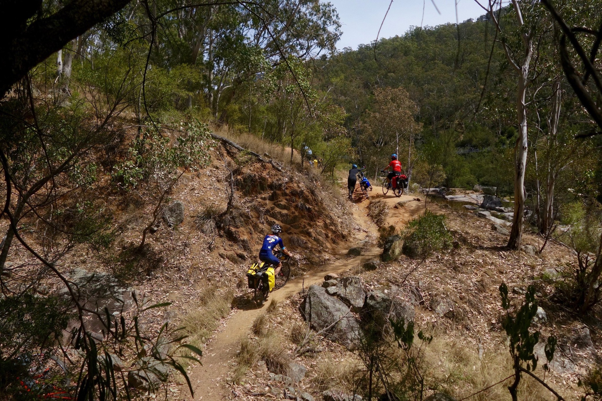
The morning starts along some picturesque fire trails through the Kanangra wilderness, and then plummets towards the Kowmung River. The hills after that get very steep and sandy - this is hike-a-bike territory. Eventually you'll hit some pine plantations, and soon after the very smooth Colong-Oberon Stock Route. This takes you to the Mount Werong Hut, an excellent lunch spot.
Just after Mt Werong you turn back onto fire trails, and there are some rollercoaster hills (pretty much all rideable). The hills don't stop through this section - if you're not going up, you're going down. When you think you couldn't possibly climb another hill (or perhaps long after that), you'll turn down towards Wombeyan Caves, and enjoy some excellent descents on dirt and then tarmac.
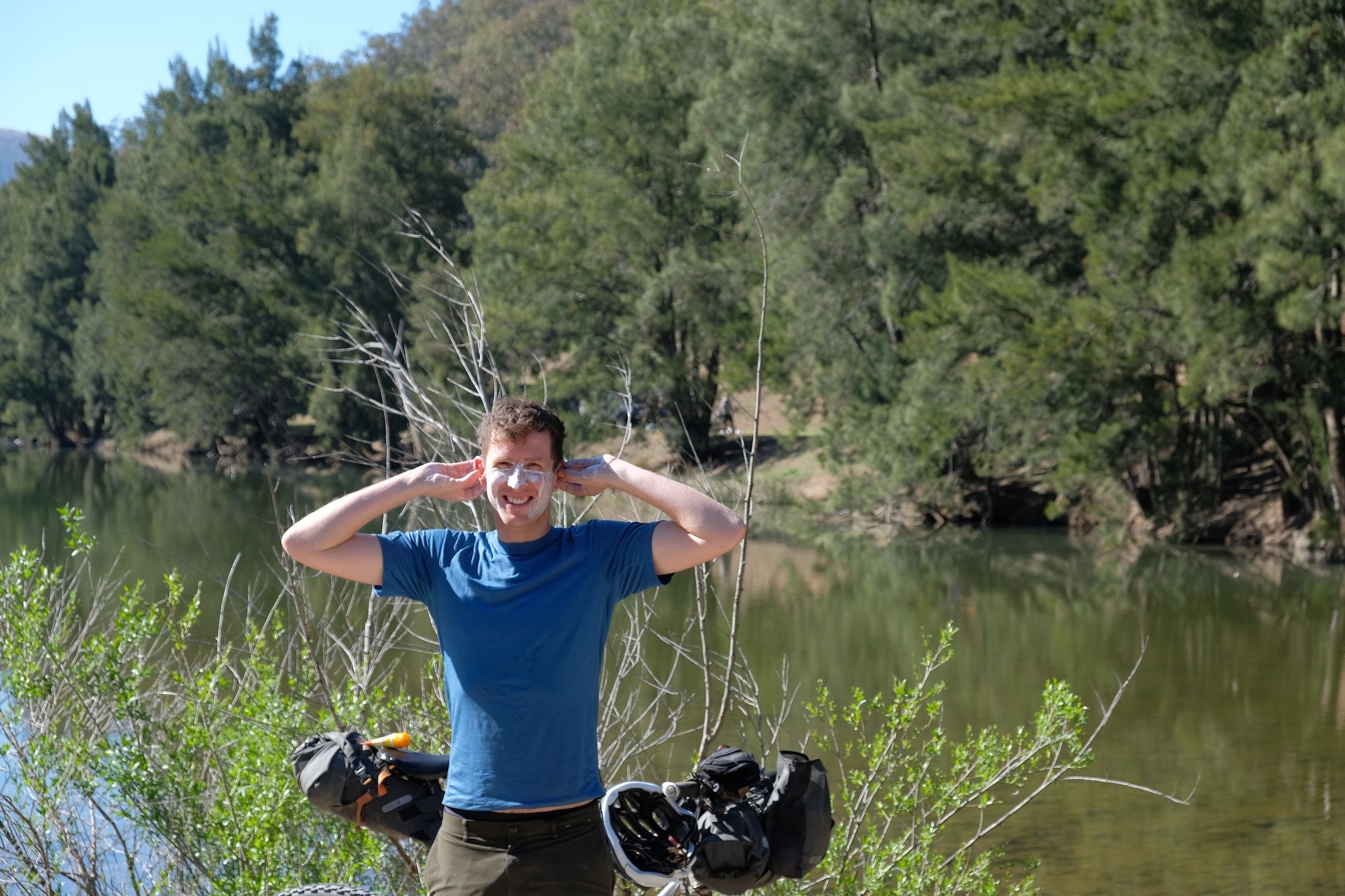
If you arrive in time, buy a token from the kiosk and do a self-guided tour of the Fig Tree Cave. If you're hot and sweaty, a swim in the frigid Limestone Gorge is recommended.
Day 3
The hills on this day are more sensible - you can just chug up and down without feeling like you're about to fall off your bike. You begin with a warm-up climb, then enjoy what is probably the best dirt-road descent around Sydney. You'll have spectacular views of the valley all the way down to the Wollondilly River. Then begins a slow and steady ascent up the other side, winding your way in and out of the valleys along the river. Once the main hill is done, the road undulates through some farming country before passing through a rock tunnel. Soon after that you're back on sealed road and cruising towards Mittagong, which is the ideal spot for lunch.
If you continue on, the road winds through the bucolic Southern Highlands, then passes through the forested Special Catchment area for the Avon Dam. Eventually you join the main road and blitz down Macquarie Pass, losing hundreds of metres of elevation in mere minutes. From there it's a slog along the road to the train station, and back to Sydney.
Map & GPS
Important details
Water and food sources
All water should be treated. There are several creeks along the route, plus a few water tanks. Generally you won't go more than 3 hours of riding without encountering another water source, but that depends on how much it has rained recently.
Fast food and snacks can be purchased from Jenolan Caves Kiosk on day one (open 9am-4pm) and Wombeyan Caves Kiosk on day two (open 9am-4pm)
Weather and when to ride
This ride is best done in the shoulder seasons. Summer can be extremely hot and dry, with the risk of bushfires, and in winter it can get below freezing.
What to ride
The Six Foot Track section of singletrack is best ridden on a bike with 2" tyres or larger. There are several other sections of quite rough, rocky fire trail, so wide tyres are preferred.